
Canadian Wildlife Service - Quebec Region; Environment Canada
Type of resources
Topics
Keywords
Contact for the resource
Provided by
Years
Representation types
Update frequencies
status
-

Land use classification on the basis of multidate Landsat-ETM and Radarsat-1 images. Classification is based on the segmentation of images into objects using Definiens Earth software (formerly eCognition©). Object-oriented classification combines fuzzy logic, based on spectral, spatial and contextual properties (statistical functions of belonging), and, as a last resort, the manual identification of objects when automatic classification performs less well for certain objects. Targeted land use classes include agriculture (annual and perennial), the road system (expressways, roads, forest roads), the water system (permanent and non-permanent waterways and non-permanent ponds under forest cover), wetlands, urban areas, and forests. Top-to-bottom multiscale classification, reflecting an approach developed by the Canadian Wildlife Service, Quebec Division, in the context of the Canadian Wetlands Inventory (CWI), has been adapted for land use purposes. The methodological details of this classification approach were published in Grenier et al. 2007. Grenier, M., Demers, A.-M., Labrecque, S., Benoit, M., Fournier R., and Drolet B. 2007. An object-oriented method to map wetland using RADARSAT-1 and Landsat-ETM images: test case on two sites in Quebec, Canada. Canadian Journal of Remote Sensing, Vol. 33, Suppl. 1, pp. S28-S45.
-
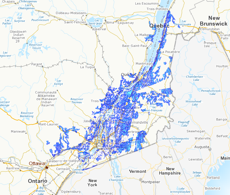
The subjects of this study – the St. Lawrence (river, estuary and gulf) and the Ottawa and Richelieu rivers – present a range of natural shoreline habitats that are conducive to the flourishing of avian, aquatic and terrestrial fauna. Avian fauna, particularly migratory birds, use wetlands as feeding and resting areas. These wetlands develop primarily in bays that are sheltered from currents and their flora varies depending on water salinity and the presence or absence of tides. In the lowlands of the St. Lawrence, which are washed by fresh and brackish waters, wetlands contain submerged and emergent aquatic plants in areas unaffected by tidal action and are dominated by the American bulrush in areas where tidal variations uncover muddy sediments. They develop particularly well in areas where water in shallow, as in the bays of the Ottawa River, the shores of the Richelieu, and in the lakes, bays and island shores of the St. Lawrence. In salt water, they can be found in the fine deposits in the high areas of coves, bays and river mouths sheltered from violent seas. In the St. Lawrence estuary, low wetlands are dominated by Spartina alterniflora communities, while higher wetlands are characterized by the presence of Spartina patens and other halophyte communities. In the Gulf of St. Lawrence, wetland herbaceous species form mosaics of alternating halophyte communities. Photographic interpretation and mapping (1:20,000) of the shorelines of these waterways provide a means of locating wetlands, determining their size, and identifying disturbances of human origin. The results show that there are 39,000 hectares of these wetlands (submerged and emergent plants) in tideless freshwaters and approximately 3,900 hectares of herbaceous communities dominated by the American bulrush in tidal freshwaters. Identified saltwater wetlands represent a total of 9,000 hectares, 4,000 of which are found in the St. Lawrence estuary, 2,400 of which are distributed sporadically along the north shore of the Gulf of St. Lawrence and Gaspé Peninsula, and 2,200 of which are located in the Îles-de-la-Madeleine. Finally, an analysis of “control sectors” (La Prairie Basins, Gentilly and Kamouraska) along the St. Lawrence shows that the impact of major human interventions on the shorelines of these waterways has increased significantly over the past 30 years.
-
The highly diversified agriculture practised in Quebec in the past has been gradually replaced by more specialized agricultural practices and large-scale production. These changes have resulted in the disappearance of a significant portion of the woodlands that formerly were part of the agricultural landscape of southern Quebec. It is becoming increasingly clear that these woodlands performed a number of highly important ecological and agronomic functions within the larger ecosystem, while ensuring the survival of indigenous plant and animal species in the agricultural landscape. It follows that conserving the woodland islands that remain is of the utmost importance, particularly in the sectors of Quebec where agriculture has been practiced intensively in recent decades. In recent years, the Canadian Wildlife Service of Environment Canada has responded to the challenge of maintaining biodiversity in agricultural ecosystems by developing a Conservation Atlas of Woodlands in the Agricultural Landscape, the primary purpose of which is to determine the status of woodlands and forest fragmentation in southern Quebec. The Atlas also reflects the knowledge acquired to date on the use of these habitats by birds (many species of which are highly vulnerable to landscape fragmentation) and, as such, will complement the information already available on the presence of animal and plant species and will serve as a decision-making tool for managers and conservation groups in the region.